Comparison of global flood hazard maps
A new paper about the inter-comparison and validation of global riverine flood models has just been published and can be accessed here
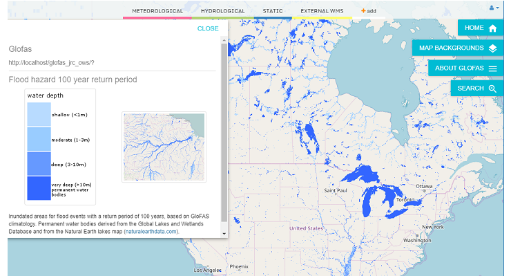
The work considers 6 different models for global flood hazard maps, including the model developed at European Commission Joint Research Center and based on the Copernicus Global Flood Awareness System (GloFAS). Flood maps are validated against observed satellite data in 3 test areas in Africa, showing the accuracy of models in reproducing large-scale flood events.
The research is part of an ongoing inter-comparison project at the Global Flood Partnership (GFP https://gfp.jrc.ec.europa.eu/ ).
By Gabriele Mantovani Sept. 17, 2018, 1:10 p.m.