Implemented by the European Commission as part of the Copernicus Programme
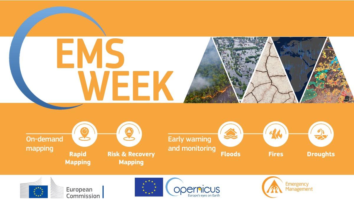
The first Copernicus Emergency Service (CEMS) Global Flood Forecasting and Monitoring Meeting was held online on 28 October, from 13 to 16 UTC, as part of the 2021 CEMS Week. 117 participants joined the event.
The main topics discussion topics were: GloFAS highlights from the last year and planned developments, the announcement of the foreseen operational release of the Global Flood Monitoring, the hydrological in-situ data collection, and the presentation of user cases.
This page presents a short summary of the event. The presentations (in pdf format) can be downloaded as single files using the links provided throughout the text, or they can be downloaded in bulk as zipped folder using the link at the bottom of the page: section Files (18.8 MB).
GloFAS is part of the Copernicus Emergency Management Service (CEMS). The system couples information from numerical weather prediction with hydrological modelling to provide global flood forecasts for large river catchments. GloFAS is complementary to national hydrological and meteorological systems. Information from GloFAS is freely available and provides ensemble hydrological forecasts and is updated on a daily basis. GloFAS also contains a seasonal component that is updated weekly. Version 3.2 of GloFAS is available since 27-10-2021.
GloFAS 4.0, also referred to as GloFAS Next, will be the next major operational release. In this new version the spatial resolution will be doubled from 0.1 degree to 0.05 degree, this will allow a more accurate representation of the river network and of the spatial variability of the catchments' physical properties. Thanks to the higher ressolution, catchments with an area over 500 km2 will be calibrated (in the previous version this was 5000 km2).
The CEMS Hydrological Data Collection Centre collects historical in-situ observations of discharge at the global scale. The collection of in-situ observations of discharge and the subsequent implementation of quality checks is essential for the calibration and evaluation of GloFAS forecasts.
A new operational, near real-time Global Flood Monitoring system (GFM) has been integrated into GloFAS. The new GFM provides continuous monitoring of floods worldwide by immediately processing and analyzing all incoming Sentinel-1 Synthetic Aperture Radar (SAR) satellite data. Three algorithms run in parallel to compute the near-real time flood mapping products. GFM computes on a regular basis 8 different flood-related products, accessible via the MONITORING layer tab of the GloFAS map viewer. Seasonal differences can be taken into account.
The presentations of this section are available from [this link].
A number of user stories presented the application of GloFAS and the Global Flood Monitoring System.
The user stories included the application of GloFAS forecasts during the 2020 monsoon in the Brahmaputra basin in Pakistan; the use of GloFAS within the protcols of the World Food Program; the use of flood forecasts and the implementation of systems like GloFAS in Disaster Risk Financing; the Aristotle project for the provision of transboundary early warnings on 6 types of natural hazards to the EU Emergency Response Coordination Centre (ERCC); case studies on how GloFAS and GFM complement each other for Thailand, China, India and Mexico; the use of GloFAS products to forecast power production.
The presentations of the ignite talks are available from [this link]