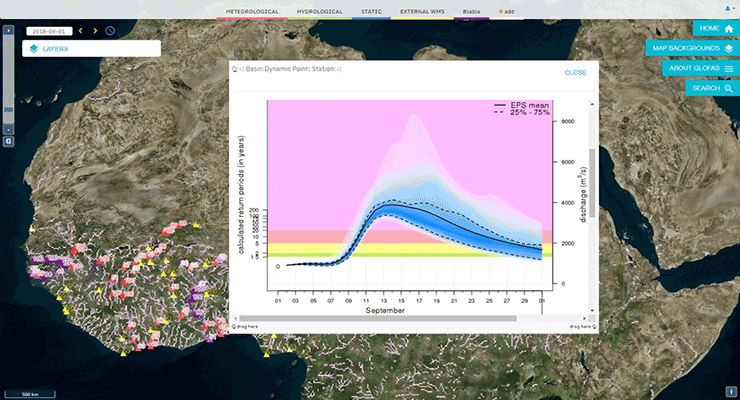
GloFAS v2.0 launched

On 14 November 2018, ECWMF implemented a major upgrade of the Copernicus Emergency Management Global Flood Awareness System (GloFAS). The new cycle, version 2.0, was co-developed by ECMWF, which is the GloFAS computational centre, and the European Commission’s Joint Research Centre (JRC).
The upgrade includes i.) new scientific developments, with a calibration of the Lisflood routing component of the system using river discharge observations across the world, and an improvement in the initialisation of real-time forecasts; ii.) a technical component, with the introduction of a version numbering system for all GloFAS cycles for full traceability of products; and iii.) user-focused enhancements, with availability of more GloFAS datasets including a new long-term GloFAS hydrological reanalysis, forecast reruns so individuals can better test GloFAS in their regions, and more comprehensive online documentation.
Please explore the "General Information" and "Technical Information" sections of the GloFAS website for more details. Updated GloFAS 30-day flood and GloFAS Seasonal forecasts are available through the Map Viewer
By Gabriele Mantovani Nov. 15, 2018, 3:16 p.m.
